Geophysical, geotechnical and surveying work, integrated
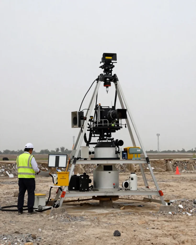
Geophysical and geotechnical investigations interface directly with site surveying and modeling. Each dataset is checked against the others so the ground picture stays consistent from first survey to final model.
Geological services and mining exploration
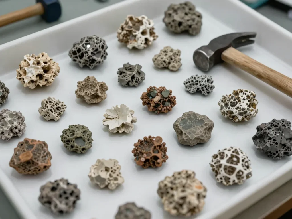
Geological services and mining exploration ground every technical project in verified field data. Samples, mapping and terrain observations are recorded so the findings can be traced and reviewed.
From field to design
Findings turned into usable technical output
Terrain investigation
Mining exploration and surveying establish the ground conditions that every later decision depends on.
DPR reports
Detailed project reports document investigation results in a clear, traceable form for project owners and engineers.
Engineering and slope protection design
Engineering drawings and slope protection drawings and design turn field findings into actionable construction plans.